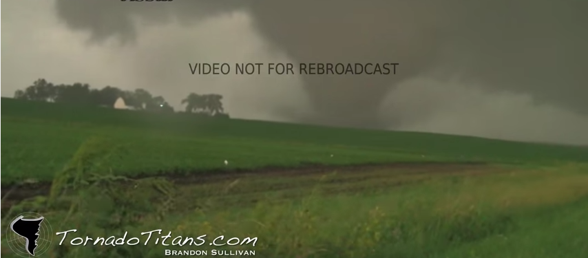
June 17th, 2010 Albert Lea Tornadoes
What an incredible day of chasing this was! I left the night before with Jesse Risley and went toward Cedar Rapids, IA, where I stayed with (then) KGAN meteorologist and friend Aaron Shaffer. He was kind enough to let us crash at his place. The next morning we took off for northwest Iowa, originally targeting the Spencer, IA area. We played the south end of the front hoping for something discrete would form on the south end… Sure enough! Here’s the video… If you want to look at the meteorology, read below!
There was a frontal boundary/dryline arching southward from ND into Iowa.


500mb map revealed a decent trough moving in with substantial vorticity advection upstream. The wind fields were very favorable for powerful supercells, but storm scale interactions would be key.
The HRRR, which was still a relatively new and exciting tool at that time, suggested relentlessly that storms would form along the cold front and that a meso low type feature may form on the southern end of the front, and enhance storm rotation. This is precisely what happened! Once the first tornado dropped, we chased non stop tornadoes for hours… It was so relaxing, I didn’t even have my laptop open.. Just filmed and drove on the great road network!
